
Did you know #OpenStreetMap can cover indoor areas too?
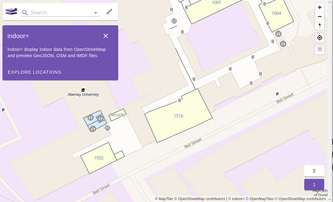
This is Gregory's attempt to map some of the rooms and corridors of Abertay University, which will host the #sotmeu25 conference next month.
He's used the "Simple Indoor Tagging" schema to describe the spaces, and it's being rendered by the "Indoor=" website.
https://wiki.openstreetmap.org/wiki/Simple_Indoor_Tagging
https://indoorequal.org/#map=18.39/56.463257/-2.973957&level=1
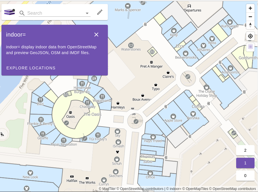
A better and more complete example is the Meadowhall shopping centre in Sheffield. https://indoorequal.org/#map=16/53.41384/-1.41329&level=


@gregorymarler @sotmeu
Great attempt! I once tried myself at indoor mapping of an hospital and had to desist, this is a bit too complicated to get nice and moderately accurate.
I'd start one side, do everything as accurately as possible and things would not line up for the life of me.
