
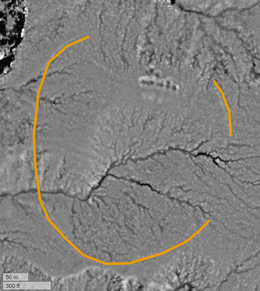
#archaeology #landscape #visualization from #lidar - 17th in a series, and my 14th post on #ChacoanBeltRoads.
This belt road, like most of these features, is in SW #Colorado.
So if these features are not "roads," what are they? There seems to be a consensus that they serve some kind of "ritual" or "ceremonial" purpose. This purpose probably involved movement or travel of some kind - perhaps processions. The Nazca lines might be a decent example.

@inti Heh, we were just watching a documentary on theNazca lines. So when you asked that the #ChacoanBeltRoads were, that was my first thought. Then watching the #TimeTeam excavate a site with a defensive ring ditch, I wanted to go excavate a piece of ring to see if it were a barrier of some sort. Then.....😆
@inti That's the one! Yes, really informative!

@agterrane did you watch the Nova documentary on Nazca? I thought they did a really nice job.