#PawFed is a project close to my heart. It's a collaborative map for animal welfare that bridges the #Fediverse and #OpenStreetMap.

The idea: mention @PawFed from your Mastodon account with hashtags and a location, and your report appears on the map. No signup, no app, just your existing Fediverse account.
It's not perfect yet, but the foundation is there. I will publish the source code soon under AGPL.

More: pawfed.org/how-it-works

Follow

@apps @PawFed I'd be more confident if there were any existing entries. Has the author not been able to test with a single local resource?!?

@falken
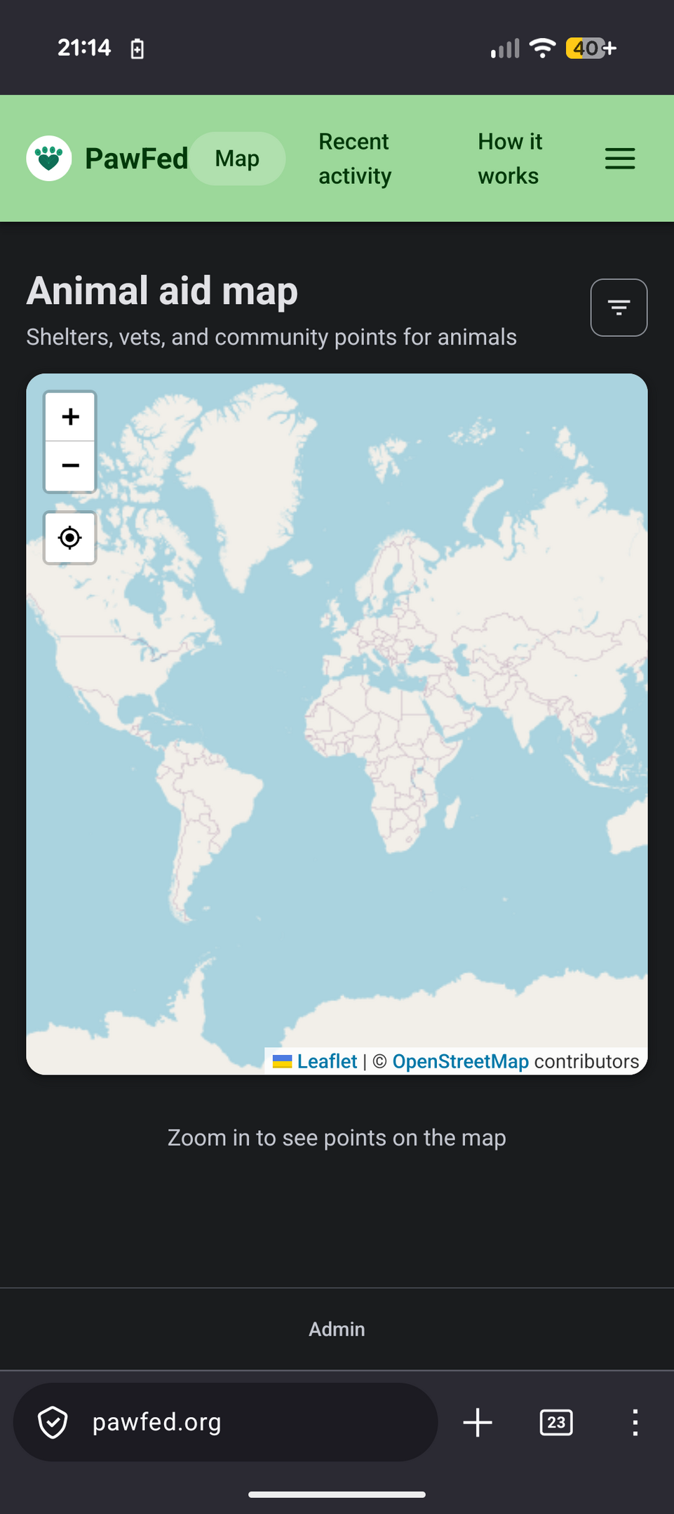
At that zoom level the map can't fetch shelters and vets from OpenStreetMap, it would be too much data. You need to zoom in closer for OSM results to appear.

As for community reports, we are just getting started so the map is empty for now. It needs contributions to grow. That's the whole point :)
@alice @PawFed

@apps @alice @PawFed I've been adding the dog/dogs tags to venues like pubs and café for ages. Would be great if places tagged as allowing (yes or leashed) showed too

Sign in to participate in the conversation
Qoto Mastodon

QOTO: Question Others to Teach Ourselves
An inclusive, Academic Freedom, instance
All cultures welcome.
Hate speech and harassment strictly forbidden.