

Harold Asmis @hasmis@qoto.org
Descended from Unix freaks, I evolved to Linux. Some people might consider me old at 60+, but I'm suing the world to get my age down to 30.
I have a blog https://ontario-geofish.blogspot.com/
and it is read by 8 people. My formal education is in an extinct branch of science called geophysics. Since there was no money in it, I went to engineering. I've done tunnels, radwaste thingies, etc.
Joined Nov 2018
**Massie gold rush** I got an offer from a competitor. I responded that I don't pay for creative content, and don't get paid for mine. It's the new thing. I'm glad I'm retired. :)
#physics **Hydrogen 10 times more dangerous** We had nothing but hydrogen explosions at the old company.
#physics #weather **Bizarre clockwise river gyre* It's a river gyre of ice, that I've seen a few times. No rain or heat in it. Meanwhile, Calicane #2 has tightened to something like a Cat4 hurricane, but we'll never see an official rating. Again, the size makes it Cat5 or more. It should rake the coast from Alaska on down.
It's almost noon here, and I have to turn off my brain, so I can sleep. I'm signing out, and leaving this. They are mixing storms and rivers. Stivers? Rivorms? The fun never stops. :)
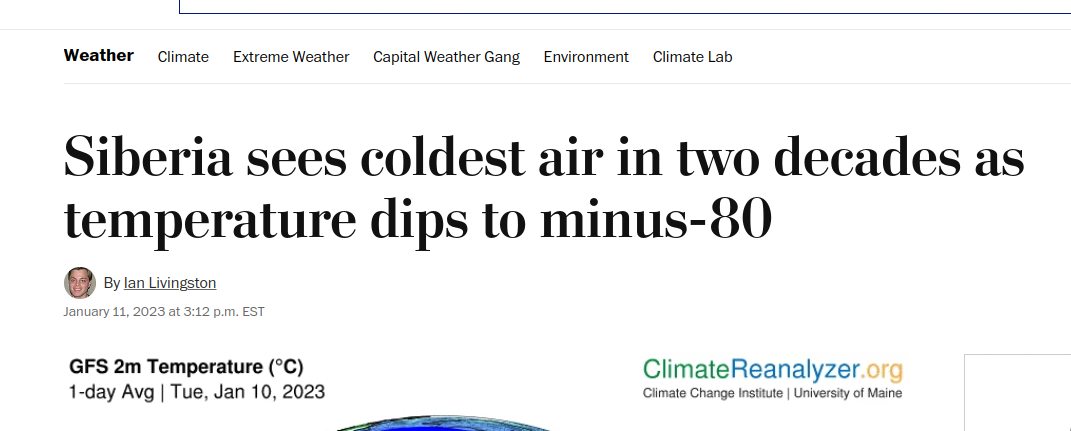
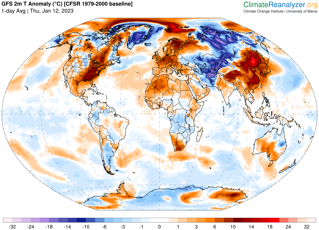
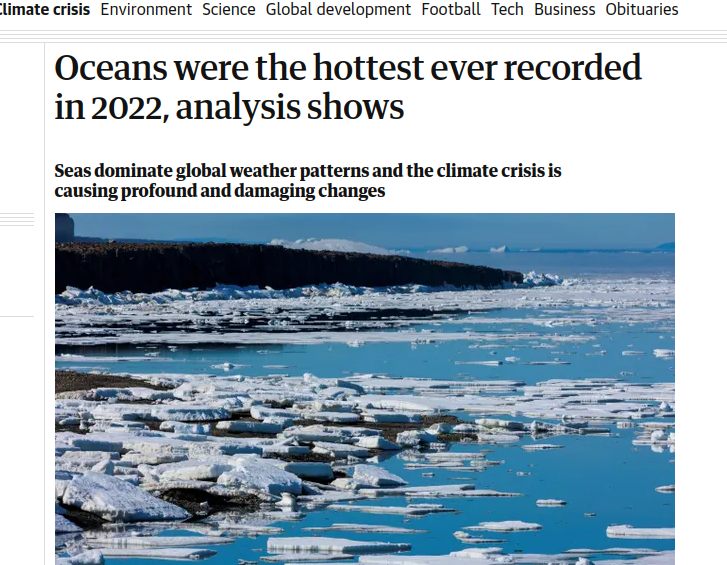
#physics #weather **Siberian Freeze** This is only funny because it's the washpost, and last year Siberia was the poster-child for selected 'heat stories'. If you look at the temp anomaly map, you warm and colder than normal spots. **'Those who lack nuance'** just zoom into the warm spots for their stories.
#physics #weather **Calicanes now beyond Cat 4 hurricanes** Probably Cat 7. Take these hurricanes and throw them off the coast of Florida. What do you see? No hurricane planes available, they can't be given a 'Magnitude'. **They don't exist,** according to the dogma. They are just 'lazy rivers'. **La La.** And endless more are going to be formed. This is the 'ice cycle' coming to bite you. :)
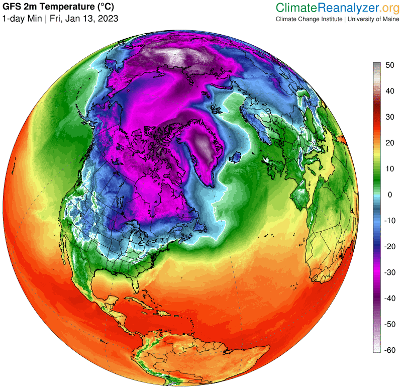
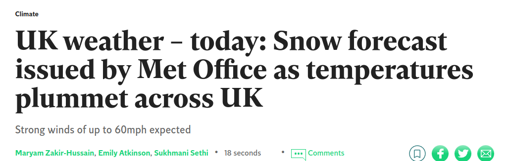
#physics #weather **UK gets the big freeze** I was expecting a narrow jet down the length, but it has curved around and hit with a full broadside. The Arctic headpond (blob of cold air) is still spilling down the spill gates.
-note: with all dams there are spill gates and channels to lead flood water safely away. It is bad to overflow the dam.
--note2 - all spills are still powerful
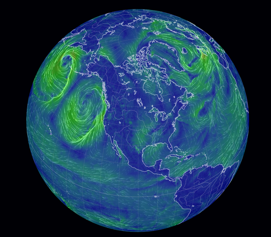
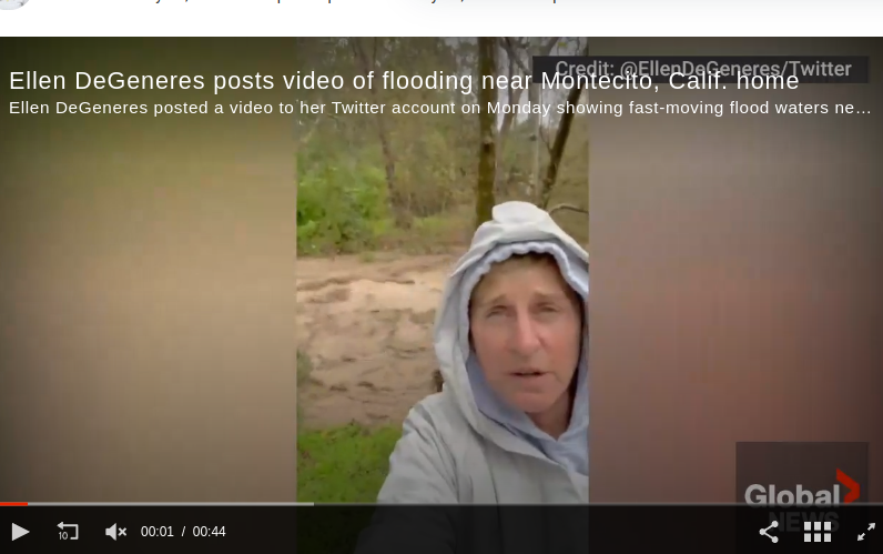
#physics ##weather **Calicanes fill the whole Pacific** In our last episode, we were left wondering if new 'things' that cannot be named, were still being produced at the chocolate (storm) factory. It's nuanced. Looks like a new baby could form if only the big sisters got out of the way, and visited Ellen.
Although I don't see any sign of recession, this is actually a sign, which I just saw, and haven't processed yet. :)
#physics #weather **Formation of a storm**
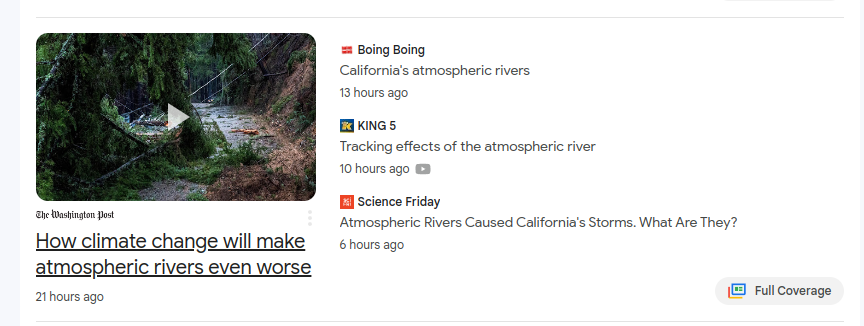
Called typhoons in the Pacific, hurricanes in the Atlantic, or 'Big Ass Flooding" in California'. To get a storm, you need curl, then a cold and hot feed. On the Atlantic belt, the traditional hurricane gets its curl from 'tropical waves' which are like breaking waves from the sea. Right now, the California storms get their curl from a narrow spill of cold air slamming into a churning hot air mass. There are more to come to California, all caused by intense cold. It can only be made worse by earthquakes which can be triggered by high water tables. Although this has happened many times before (never rains but it pours), this is the first time that satellites are watching.
#physics #weather **Europe to soon freeze** That's only if the pattern of last time repeats .. most likely. The narrow, intense streams of cold air are 'spills' from the Arctic headpond of 50 below air. The spills are defined by topography. If the warm air from the tropical plume is pushed back, then UK gets the same freeze as last time. The cold air will drift over Europe. However, things change, just yesterday there was a perfect storm factory in the North Atlantic, but all the other spills have destroyed it. In about a week or so, the headpond will have drained, and start to build up again, just like those tip buckets at the splash pool.
Descended from Unix freaks, I evolved to Linux. Some people might consider me old at 60+, but I'm suing the world to get my age down to 30.
I have a blog https://ontario-geofish.blogspot.com/
and it is read by 8 people. My formal education is in an extinct branch of science called geophysics. Since there was no money in it, I went to engineering. I've done tunnels, radwaste thingies, etc.
Joined Nov 2018
